The Aboriginal Presence
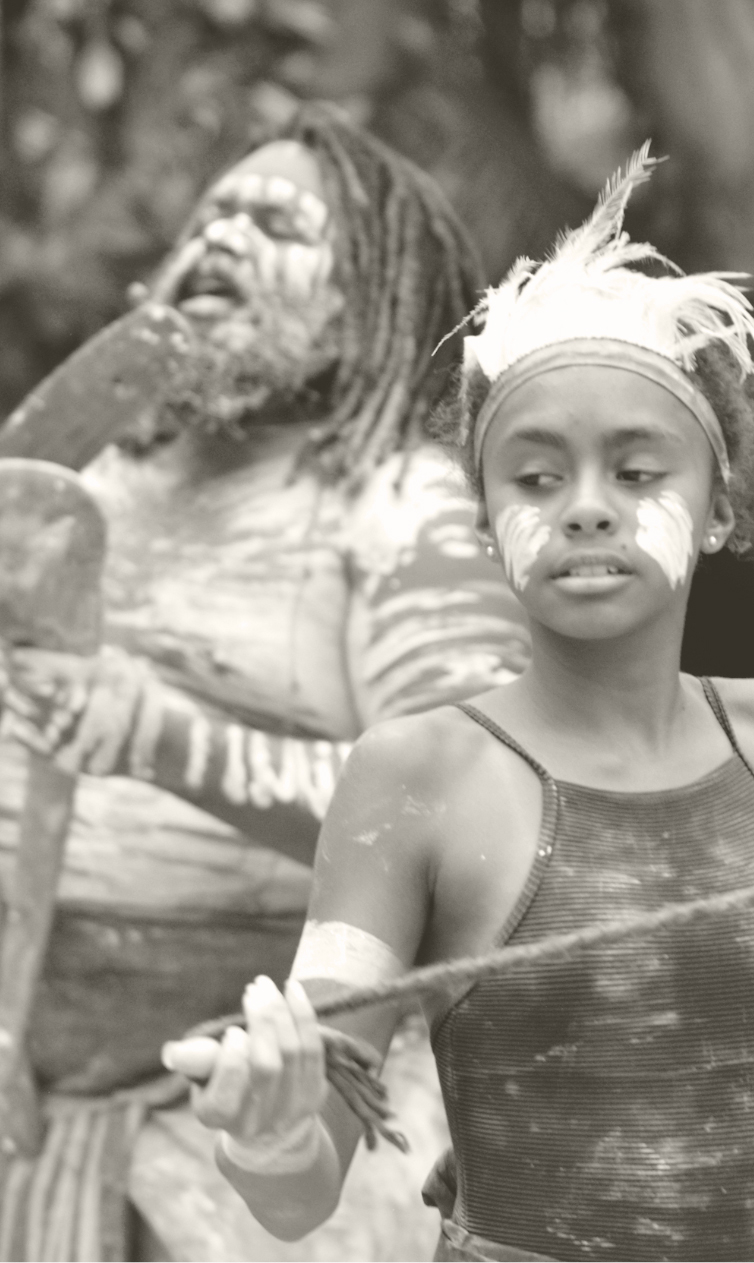
Aboriginal people of the Turrbal and Jagara clans occupied their traditional country in the area of modern Brisbane for countless generations. That occupation continued after the onset of convict settlement in the 1820s, and today Aboriginal people continue to assert sovereignty and seek to exercise custodianship of country in Brisbane and its environs.
South of the river, the low-lying basin of modern Woolloongabba was known in one account as woolloon kapemm, meaning ‘place of whirling water’ and denoting the chain of waterholes alongside what became Stanley Street. These were fed by several creeks from what is now East Brisbane, including the main source of water from what was later known as Kingfisher Creek.
This Indigenous landscape centred on several key features. A major pathway to the south started at the end of the creek system, following the line of Logan Road to Burnett Swamp on Norman Creek (Stones Corner) and from there towards Mt Gravatt.
Ceremonial places nearby include a bora ground on top of Woolloongabba Hill, at the site now occupied by Holy Trinity Church in Hawthorne Street, and two ‘pullen pullen’ grounds (for ceremonial fighting) nearby. It’s also been suggested that the modern name of the area derives from this ceremonial activity, with woolloon given to mean ‘fight/talk’ and gabba ‘place’ (Roberts, 2013: 110).
The ‘bora rings’ on Hawthorne Street were well-known to early inhabitants of Brisbane. One of them, William Clarke, remembered how as a boy he approached the site (on the hill now reduced by the South-East Freeway) before being warned off by older Aboriginal men: “making a great noise…with pieces of hard, dry kangaroo skin tied to pieces of bugaroo, or native string, which they whirled round and round. The noise they made was sometimes deafening.” (Clarke, 1916, p.8).
Historian Ray Kerkhove estimates that there were four important Aboriginal campsites in and around Woolloongabba. One was overlooking the Brisbane river at the base of Highgate Hill, around today’s Brisbane State High School and towards the Mater Hospital. The ongoing association of Aboriginal people with this site ensured its survival into the twentieth century – in the gazetted parkland of Musgrave Park – as “the key networking, meeting and protest site for Brisbane’s Aboriginal communities …undoubtedly the most famous Indigenous place of the Brisbane region.” (Kerkhove, 2015: 121). A lower campsite, closer to the river at the later Dry Dock site, seems to have been a smaller winter campsite.
The largest local camp, however, was in Woolloongabba itself, located on the ridge overlooking the creek and waterholes. A fourth campsite was located around today’s Mowbray Park close to the end of Wellington Road. Campsites were typically around half a square kilometre, growing to up to two square kilometres at peak seasonal occupation.

They typically came in clusters of up to four or six camps, as at the Gabba, all a few kilometres apart:
In ‘off season,’ a camp might be empty or see just the occasional visitor. When being used, they held 30 to 80 – or according to other accounts – 250 to 300 occupants. Camps of 400 to 2000 inhabitants were reported, but these were for specific inter-tribal events such as tournaments, feasts, corroborees or funerals.
Ray Kerkhove, ‘Indigenous Aboriginal Sites of Southside Brisbane’ in ‘Mapping Brisbane History’ (https://mappingbrisbanehistory.com.au) viewed 12 July 2021.

